Lake Shikotsu Area
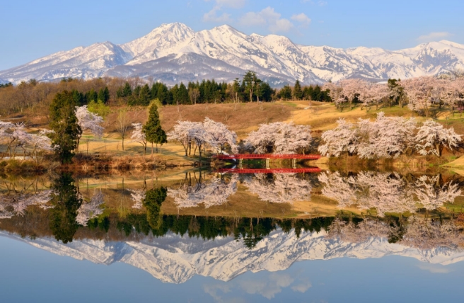
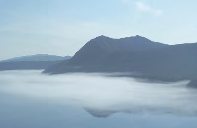
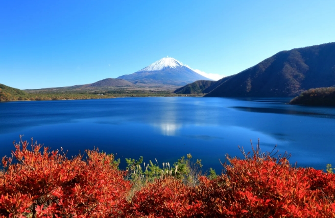
At the heart of Shikotsu-Toya National Park is the Lake Shikotsu Caldera, which was formed more than 40,000 years ago. Lake Shikotsu is Japan’s second-deepest lake, and offers spectacular views of Mount Eniwa to the north.
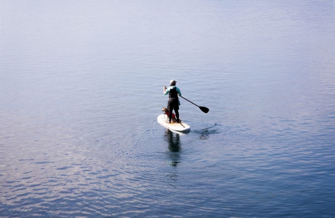
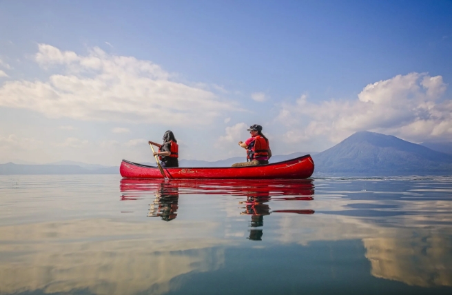
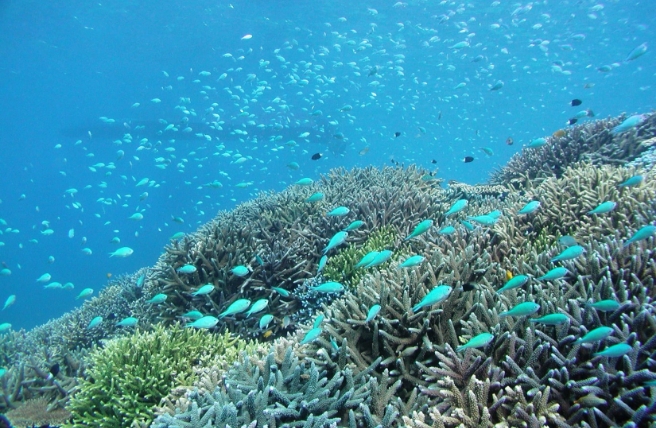
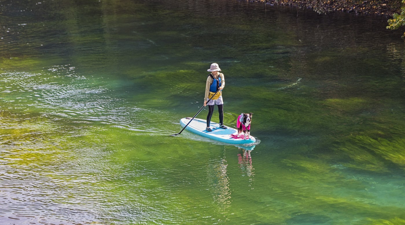
Lake Shikotsu is a center for outdoor activities, known for having the clearest waters in Japan. That clarity makes it perfect for diving. Under the surface you may encounter kokanee salmon, white-spotted char, and clouds of tiny freshwater shrimp. You can also explore the lake’s remote shores by Canadian canoe, or take a glass-bottom kayak tour.

Lake Shikotsu Canoe
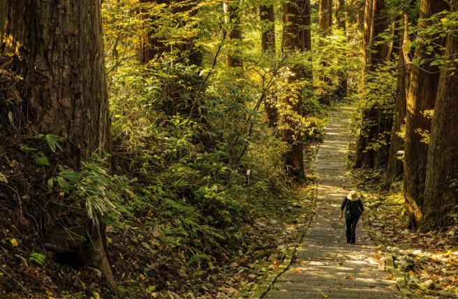
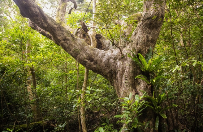
Nearby Shikotsu Forest is great for observing nature and birdwatching. Take one of the walking tours to see seasonal flowers as well as Hokkaido squirrels and Ezo deer.
In winter, the area is transformed. The lake itself remains ice-free, but you can trek its shoreline across snowfields through wintry forest scenery. You can even take the plunge and dive into the chilly waters in a drysuit. Visit the Lake Shikotsu Ice Festival from late January to mid-February to view towering, colorfully illuminated ice sculptures and fireworks, and try activities like ice-skating and going down an ice slide.
South of Lake Shikotsu is Mount Tarumae–a relatively young volcano formed 9,000 years ago by an eruption in the Shikotsu Caldera. The 1,041-meter peak offers a fun challenge for climbers and hikers. Take a guided tour on either of the two main routes to the summit. On these trails you can see alpine plants as well as fumaroles—openings near volcanoes that emit steam and sulfurous gases.

Mount Tarumae
Noboribetsu and Jigokudani Area
Just south of Lake Shikotsu is Jigokudani—meaning “Hell Valley”—which got its name because of a multitude of steam vents and sulfurous streams. You can walk through the valley safely on 450-meters of wooden walkways and footpaths.
To the east of Jigokudani is Lake Kuttara–a freshwater body formed in an isolated caldera that is reportedly Japan’s roundest lake. The lake’s startling transparency and surrounding tranquility make this a popular destination.
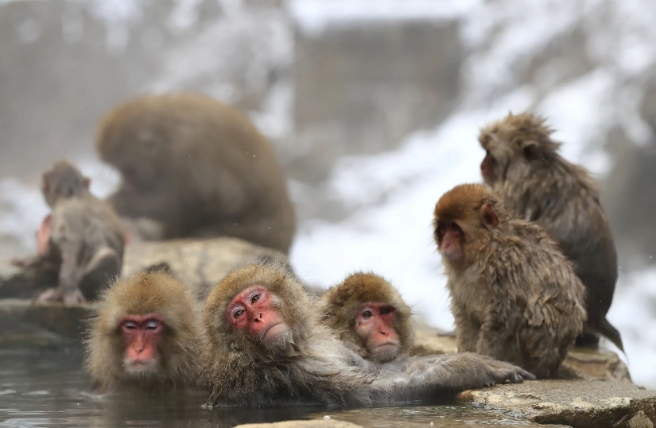
The Noboribetsu Onsen resort area is famous for its abundance of hot water springs. You can relax in natural spring baths with various healing properties and levels of heat, at the various public and resort spas in the area.
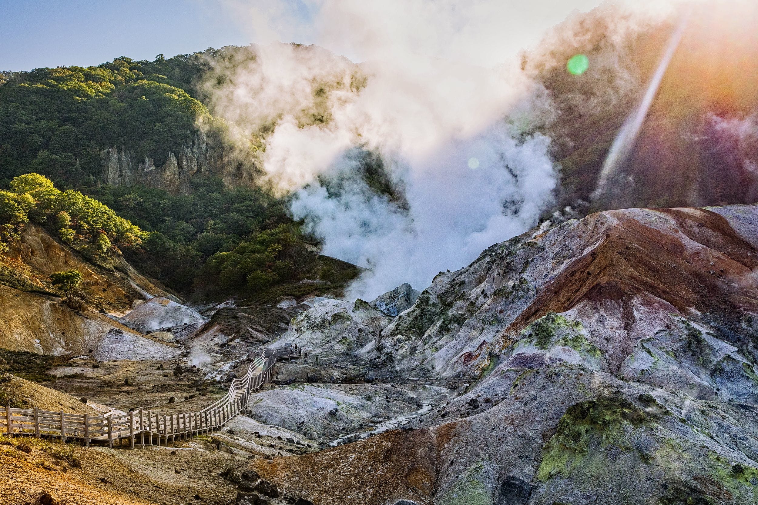
Jigokudani
Hohei Gorge Area
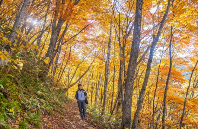
Hohei Gorge is in the north of the park. This area is famed for its pristine woodlands and steep-sided canyon. Sapporo residents flock here during the fall to see the rich and fiery colors of the seasonal foliage.
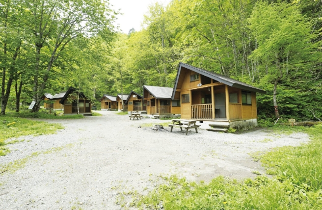
At the head of the canyon is the Hohei Gorge Dam, which forms Lake Jozan. From here you can ride the cable car to various viewing platforms. A visit to the Hohei Dam Museum will give you insights into how the dam was built. You may want to spend a night at Jozankei Nature Village campsite to enjoy the wilds. They’ll rent you a tent, sleeping bags and campfire kits, and there are plenty of guided programs at the activities center.
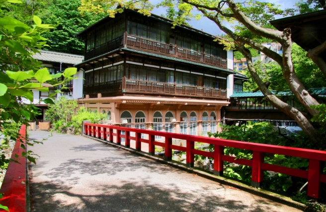
At the foot of the gorge is Jozankei Onsen. This can be your base for a range of outdoor activities such as canoeing through the Jozankei Valley or horseback riding in the foothills of Mount Hakken. At Jozankei Farm you can pick seasonal fruits and eat stone-fired pizza.
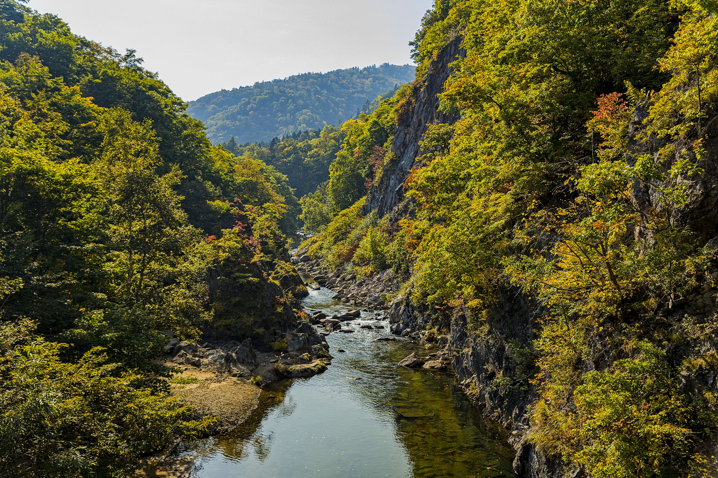
Jozankei Valley
Lake Toya Area
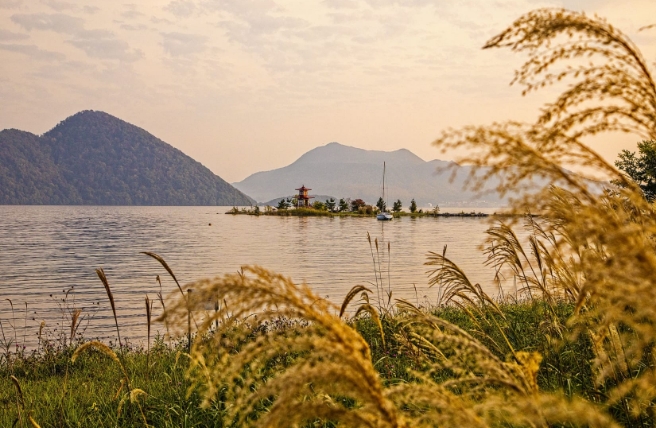
Lake Toya is an almost circular caldera lake measuring 40 kilometers across. At its center is Nakajima Island, formed some 50,000 years ago by closely packed lava domes, which is home to wild deer and a forest of giant spruce. You can ride a sightseeing boat to the island and visit the Lake Toya Forestry Museum to learn more about the local area.
Just south of the lake is still-active Mount Usuzan. UNESCO designated this area as Japan’s first Global Geopark in recognition of its geological importance. Take the Mount Usu Ropeway for stellar views of the summit and Lake Toya. On the western side of the volcano you can walk the southern rim of Nishiyama Crater. Enjoy the thrill of viewing one of the area's most recently formed volcanic craters from various observation points along the route.
Mount Yotei Area
Mount Yotei rises 1,898 meters above sea level. It is a classic stratovolcano–a volcanic peak made up of alternate layers of lava and ash. Its appearance earned it the nickname of Ezo Fuji because of its resemblance to Mount Fuji. Ezo comes from Ezo-chi an old name for the Hokkaido region.
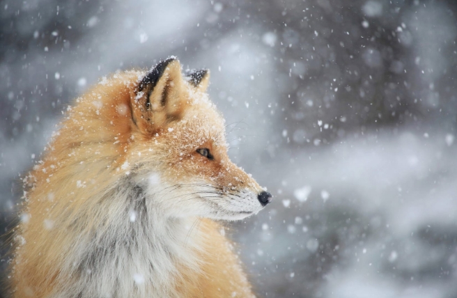
This area is a trekking and hiking paradise. You’ll find a dense broadleaf forest on the lower slopes, then coniferous trees on the upper reaches and finally alpine plants such as yellow rhododendron and blue mountainheath (Phyllodoce caerulea) near the summit. Keep an eye out for fleeting glimpses of black woodpeckers and Ezo foxes, both native to this area.
Culture
Shikotsu-Toya National Park also has a rich cultural heritage. Traditionally this region has been home to settlements of Ainu, Hokkaido's indigenous people. The names of many places in the region have their roots in the Ainu language.
The Shikotsu area has a long industrial history as well, including mining and forestry. Remnants from that era linger, and you can still find disused railway bridges, logging stations and mines from those times.
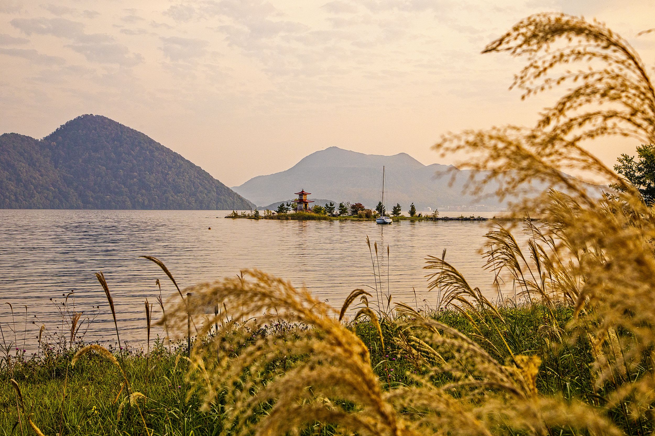
Lake Toya
