Crossing Rainbow Bridge on Foot
Crossing Rainbow Bridge on Foot
Rainbow Bridge, a famous Tokyo landmark, spans Tokyo Bay to connect the man-made island of Odaiba to the rest of Tokyo. The top level of the double decker bridge is an expressway and the lower level has the Yurikamome line, local roads and a pedestrian walkway. Rainbow Bridge has great views of the city and is popular with local joggers.

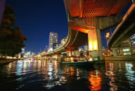
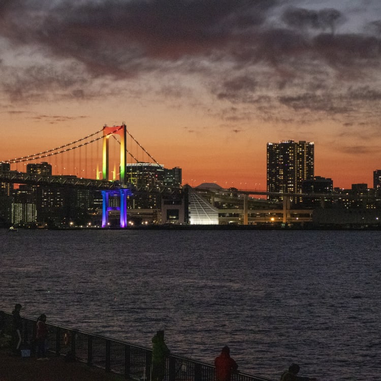
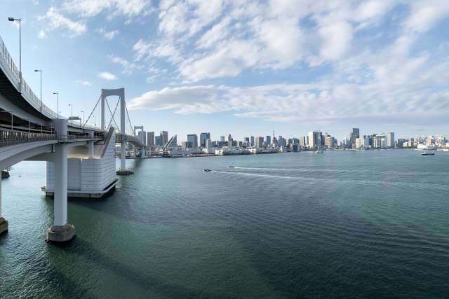
As you explore Tokyo, walk across Rainbow Bridge to take in the panoramic views and get to know this famous landmark. Entrance to the bridge is free. On the north route you’ll see Tokyo Tower nestled among skyscrapers to the west, and Tokyo Sky Tree to the east. On the south route, the shipping cranes look like giant birds, and on a clear day, it’s possible to see Mt Fuji. The striking white bridge is illuminated at night by solar-powered lights. The white lights change to colored patterns for holidays or special events.
Rainbow Bridge, spans Tokyo Bay to connect the man-made island of Odaiba to the rest of Tokyo. The suspension bridge was completed in 1993. One of the challenges in creating the bridge was to make it high enough to allow large shipping vessels to pass underneath, but low enough for airplanes landing at Haneda airport. The top level of the double-decker bridge is a toll-road, the Shuto Expressway. The lower level has the Yurikamome line, local road Route 482 and a free pedestrian walkway popular with local joggers.
Walking across Rainbow Bridge
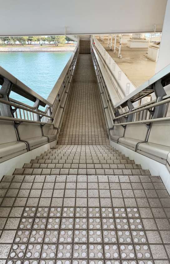
You can cross Rainbow Bridge from the Odaiba side or the Shibaura side. It is easier to start on the Shibaura side as one must take an elevator to the start of the walkway. From the Odaiba side, you must walk up a long slope to reach the bridge’s pedestrian level. Bicycles are allowed on the bridge but must be mounted on a small trolley provided and pushed across the bridge. Walkers may take the north or south route, but people with bicycles must take the specified routes.
Signs along the way mark your progress as you cross. The highest point of the pedestrian route is in the middle at 58m (190ft) high. The length of the bridge is 798m (2618ft) but the total length of the pedestrian route is 1523m (49996ft).
How to get there: Shibaura side

Take the Yurikamome line to Shibaura-futō. After exiting the gate, take the east exit. Walk straight until you see the Shibaura Mooring. and turn left. The entrance is to the right. If you are using a bicycle, don’t forget to pick up the trolley to mount your bicycle. There are toilets on this side of the bridge but not on the Odaiba side. Take the elevator to the 7th floor. Joggers take about 20 minutes to cross the bridge and walkers take about 30-40 minutes depending on how long one stops to enjoy the view and take photos.

On the Bridge

The bridge is covered and the sides have large mesh wire to prevent objects from falling over. It’s easy to take photos with smartphones through the gaps but harder for larger lenses. Luckily, there are several observation balconies that provide a clearer view. The north route’s central observation deck also has a city diagram labeling the city sights.


Arriving on the Odaiba side-Odaiba Seaside Park
There are several convenience and grocery stores after you leave the bridge area. If you follow along the water, you will come to Odaiba Seaside Park. The shopping malls Decks and Aqua City are nearby. Venus Fort and Palette Plaza which has the Giant Sky Wheel, the large ferries wheel are on the other side of the Yurikamome line. Relax at one of the malls or local restaurants. Nearest stations from the Odaiba side are Odaiba-kaihinkōen on the Yurikamome line or Tokyo Teleport on the Rinkai line.
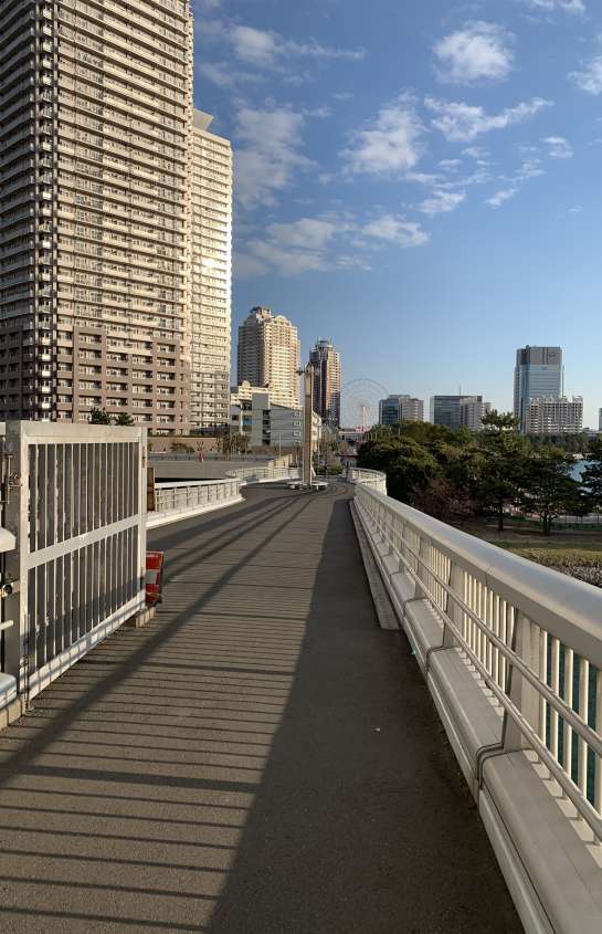

Arriving on the Odaiba side–Shin Toyosu
If you prefer a longer walk and are looking for a bridge and sunset photo, head to the left and continue towards the Ariake Sports Center by crossing the Nozomi Bridge. Pass the sports center and take the first left onto Route 484. Follow the street and cross the Fujimi Bridge to Toyosu Gururi Park. This adds about 2 km (1.24 mi). Toyosu is also home to the Toyosu Fish Market which closes at 5 pm. The Toyosu Fish Market is closed on Sundays and holidays. Teamlab Planets is in the area if you’re in the mood for an immersive art experience. You can find the latest information at teamLab Planets TOKYO.
From Odaiba:
The nearest station is Odaiba-kaihinkōen station on the Yurikamome line. Tokyo Teleport on the Rinkai Line is a 5-10 minute walk away. The closest public transit is the Odaiba Rainbow Bus stop called Odaiba Gakuen. This bus goes to Tamachi and Shinagawa stations. The trip is generally 20 minutes from Shinagawa. The walk from the Odaiba side is slightly more challenging since there is no elevator to the bridge level and pedestrians must use a long sloping path. Walkers can choose between the north view of the city or the south view of Odaiba. The south side overlooks Tokyo Bay, Odaiba and giant shipping cranes, and occasionally a view of Mt. Fuji.

Arriving on the Shibaura side
After arriving at the Shibaura Anchorage, you take the elevator to ground level. Most of the immediate area is offices and warehouses. Head to Shibaurafuto Station to get to Shimbashi Station for the JR Yamanote and Keihin Tohoku lines and the Tokyo Metro Ginza line, or walk 10 minutes to Tamachi station with the JR Yamanote and Keihin Tohoku lines.
Views of the Bridge: sunset silhouette or city backdrop

If you’re looking for a sunset view of Rainbow Bridge you have several options. Try Gururi Park on Toyosu. You can walk there after crossing the bridge or get off at Toyosu Station. A ride on the Tokyo Cruise Water Bus or Tokyo Bay cruise. If your timing is good and the weather is clear, the silhouette of Mount Fuji can be glimpsed behind the bridge.


Rules
Strollers ok.
Bicycles must be mounted on a trolley and pushed across the bridge.
You must exit the bridge before closing time.
No pets.
No smoking.
Do not throw anything over the side.
Hours for the Pedestrian Path
April-October: 9 am – 9 pm
November-March: 10 am – 6 pm
Closed: 3rd Monday of the month
Last entry is 30 minutes before closing.
You must be off the bridge before it closes.
May be closed in cases of strong winds


